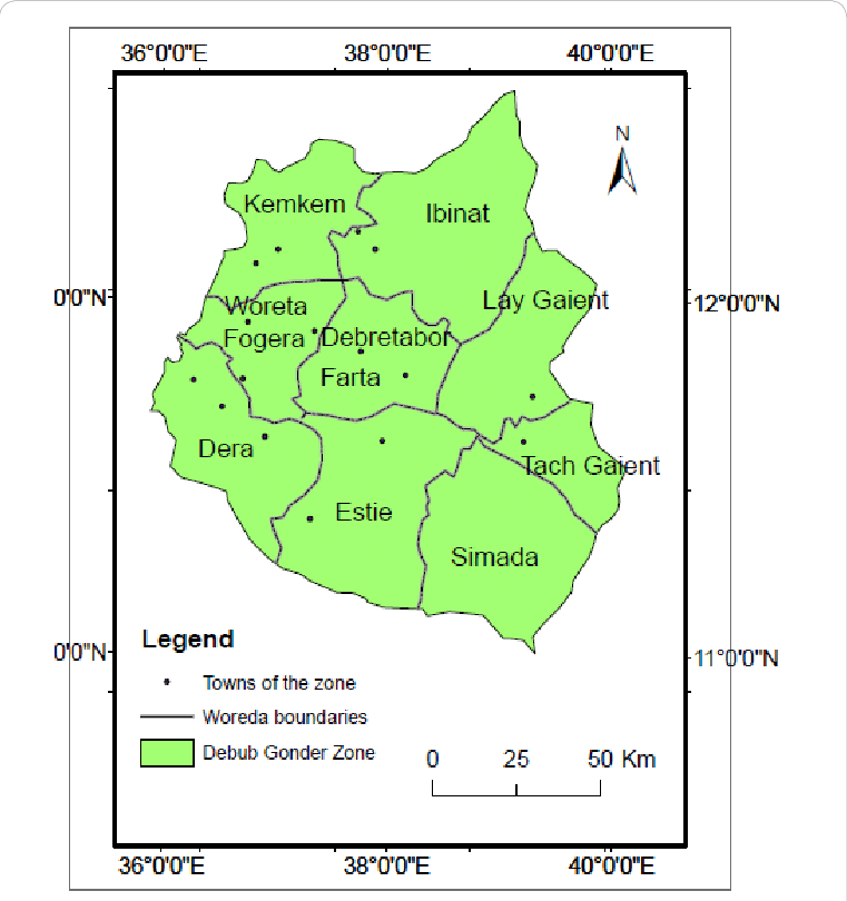
How Many woredas in south Gonder zone
South Gondar Zone is one of the key administrative zones of the Amhara Regional State, Ethiopia. It is composed of several woredas (districts), each with unique natural, cultural, and economic resources. This page provides an overview of all woredas in the zone, highlighting their key features and contributions to the development of the region
Seafood tasting board birr65.00
Farta Woreda
Known for historical churches and monasteries.
Strong agricultural base.
Estie Woreda
Rich in natural resources.
Important for crop production and cattle rearing.
Simada Woreda
Home to scenic landscapes.
Cultural and traditional heritages preserved.
House nachos for one birr 45.00
Tach Gayint Woreda
Key area for agriculture.
Growing small-scale trade.
Lay Gayint Woreda
Highland area with fertile lands.
Strong traditions and heritage sites.
Dera Woreda
Located near Lake Tana.
Popular for fishing and irrigation-based farming.
Roasted Pacific Oysters birr 33.00
Ebenat Woreda
Historic site of the Battle of Ebenat.
Strong cultural significance.
Fogera Woreda
Fertile Fogera plain, famous for cattle breed.
Potential for irrigation and rice farming.
Libo Kemkem Woreda
Near Lake Tana.
Source of cultural and natural attractions.
Key Features of the Woredas
Agriculture & Livelihoods: Most woredas are agriculturally productive, focusing on crops like teff, wheat, barley, maize, and rice.
Tourism & Culture: Rich historical and religious sites, including monasteries, ancient churches, and monuments.
Natural Resources: Proximity to Lake Tana, fertile plains, rivers, and highlands.
Economic Activities: Agriculture, trade, fishing, and small-scale industries.


